Garko, Nigeria
Garko | |
|---|---|
LGA and town | |
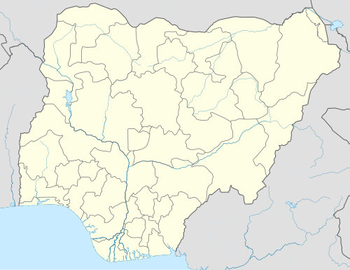 Garko Location in Nigeria | |
| Coordinates: 11°39′N 8°54′E / 11.650°N 8.900°E | |
| Country | |
| State | Kano State |
| Area | |
| • Total | 450 km2 (170 sq mi) |
| Population (2006 census) | |
| • Total | 162,500 |
| Time zone | UTC+1 (WAT) |
| 3-digit postal code prefix | 712 |
| ISO 3166 code | NG.KN.GK |
 | |
Garko is a Local Government Area in Kano State, Nigeria. Its headquarters are in the town of Garko on the A237 highway.
It has an area of 450 km2 and a population of 162,500 thousand according to 2006 census. The majority of people living in the region are Fulani and Hausa ethnic groups. Islam is widely practiced in Garko Local Government Area, and the Hausa and Fufulde languages are among the languages that are spoken there.[1]
The postal code of the area is 712.[2]
Climate
[edit]In Garko, the dry season is partly cloudy, the wet season is oppressive and mostly cloudy, and the weather is hot all year round. The average annual temperature fluctuates between 54°F and 101°F; it is rarely lower or higher than 48°F or 106°F.[3][4] The hot season, which runs from March 15 to May 18, lasts for 2.1 months and with daily highs that average more than 98°F.[5] May is the warmest month of the year in Garko, with typical highs and lows of 99°F and 75°F, respectively. With an average daily high temperature of less than 89°F, the chilly season spans 1.8 months, from December 1 to January 27. With an average low temperature of 55°F and high temperature of 88°F, January is the coldest month of the year in Garko.[6][7][8]
Economy
[edit]The majority of people living in Garko Local Government Area are farmers, and the region is home to a variety of crops including millet, sweet potatoes, sorghum, brown beans, and jamilah rice. The region boasts a thriving trade industry as well. The Garko main market is one of the many markets hosted by the Local Government Area that offer a venue for the exchange of various goods and services by the locals. The residents of Garko Local Government Area also engage in significant economic pursuits including as hunting, pottery making, and cattle husbandry.[1]
Garko Local Government Area's District
[edit]Source:[1]
- Buda
- Garinali
- Gurjiya
- Kafin
- Kawo
- malamai
- Makadi
- Yarka
- Zakarawa
References
[edit]- ^ a b c "Garko Local Government Area". www.manpower.com.ng. Retrieved 2024-08-01.
- ^ "Post Offices- with map of LGA". NIPOST. Archived from the original on 2009-10-07. Retrieved 2009-10-20.
- ^ "Garko Climate, Weather By Month, Average Temperature (Nigeria) - Weather Spark". weatherspark.com. Retrieved 2024-08-01.
- ^ "Weather Garko | Forecast, Radar, Lightning & Satellite". Meteologix.com. Retrieved 2024-08-01.
- ^ "Garko, Kano, NG Climate Zone, Monthly Averages, Historical Weather Data". weatherandclimate.com. Retrieved 2024-08-01.
- ^ "14 Day Weather Garko". meteoblue. Retrieved 2024-08-01.
- ^ "Long term weather forecast for Garko". Yr. 2024-08-01. Retrieved 2024-08-01.
- ^ "Weather Forecast Garko - Nigeria (Kano) : free 15 day weather forecasts". Weather Crave. 2024-08-01. Retrieved 2024-08-01.
State capital: Kano | ||
| Local government areas |
|  |
This Kano State, Nigeria location article is a stub. You can help Wikipedia by expanding it. |