Rogo
Rogo
Rogo | |
|---|---|
LGA and town | |
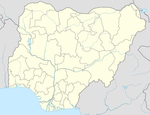 Rogo Location in Nigeria | |
| Coordinates: 11°34′N 7°50′E / 11.567°N 7.833°E | |
| Country | |
| State | Kano State |
| Government | |
| • Chairman | Mubarak Bashir Fulatan |
| Area | |
| • Total | 802 km2 (310 sq mi) |
| Population (2020 Estimated) | |
| • Total | 350,000 |
| Time zone | UTC+1 (WAT) |
| 3-digit postal code prefix | 704 |
| ISO 3166 code | NG.KN.RO |
 | |
Rogo is a Local Government Area in Kano State, Nigeria. Its headquarter is in the town of Rogo.
It has an area of 802 km2 and a population of 227,742 (2006 census) and it is bordering Karaye and Kiru Local Governments from East, Makarfi Local Government in Kaduna State from the South, Danja and Kafur Local Governments in Katsina State from the West and the North respectively. Rogo Local Government has 10 political Wards, Which Includes: Beli, Falgore, Fulatan, Gwangwan, Jajaye, Rogo-Ruma, Rogo-Sabon-Gari, Ruwan Bago, Zarewa and Zoza Ward. The postal code of the area is 704.[1]
Geography
[edit]Rogo Local Government Area has an average temperature of 34 degrees Celsius and a total area of 802 square kilometers. The Local Government Area experiences two distinct seasons: the dry and the rainy. The area receives an estimated 1250 mm of precipitation annually.[2]
Economy
[edit]Rogo Local Government Area has a vibrant trade sector and hosts a number of markets where a variety of commodities are bought and sold. A number of crops such as groundnut and millet are grown in the area while a variety of domestic animals are also reared and sold in the Local Government Area. The people of Rogo Local Government Area also engage in economic practices such as hunting, pottery, and crafts making.[2]
Climate
[edit]In Rogo, the dry season is partly cloudy, the wet season is oppressive and mostly cloudy, and the weather is hot all year round. The average annual temperature fluctuates between 54°F and 98°F, seldom falling below 48°F or rising above 103°F.[3] With an average daily high temperature of 95°F, the hot season spans 1.9 months, from March 12 to May 7. At an average high temperature of 97°F and low temperature of 71°F, April is the hottest month of the year in Rogo. With an average daily maximum temperature below 86°F, the chilly season spans 2.7 months, from July 8 to September 29. January has the lowest average temperature of the year in Rogo, at 55°F, and the highest average temperature of 85°F.[3][4]
References
[edit]- ^ "Post Offices- with map of LGA". NIPOST. Archived from the original on 2009-10-07. Retrieved 2009-10-20.
- ^ a b "Rogo Local Government Area". www.manpower.com.ng. Retrieved 2024-08-16.
- ^ a b "Rogo Climate, Weather By Month, Average Temperature (Nigeria) - Weather Spark". weatherspark.com. Retrieved 2024-08-16.
- ^ "Weather Forecast and Conditions for Rogo, Kano, Nigeria - The Weather Channel | Weather.com". The Weather Channel. Retrieved 2024-08-16.
State capital: Kano | ||
| Local government areas |
|  |
This Kano State, Nigeria location article is a stub. You can help Wikipedia by expanding it. |