Mamirolle
Mamirolle | |
|---|---|
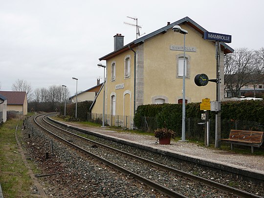 Train station | |
 Coat of arms | |
Location of Mamirolle  | |
 Mamirolle  Mamirolle | |
| Coordinates: 47°11′52″N 6°09′44″E / 47.1978°N 6.1622°E | |
| Country | France |
| Region | Bourgogne-Franche-Comté |
| Department | Doubs |
| Arrondissement | Besançon |
| Canton | Besançon-5 |
| Intercommunality | Grand Besançon Métropole |
| Government | |
| • Mayor (2020–2026) | Daniel Huot[1] |
| Area 1 | 11.49 km2 (4.44 sq mi) |
| Population (Jan. 2019)[2] | 1,795 |
| • Density | 160/km2 (400/sq mi) |
| Time zone | UTC+01:00 (CET) |
| • Summer (DST) | UTC+02:00 (CEST) |
| INSEE/Postal code | 25364 /25620 |
| Elevation | 425–666 m (1,394–2,185 ft) |
| 1 French Land Register data, which excludes lakes, ponds, glaciers > 1 km2 (0.386 sq mi or 247 acres) and river estuaries. | |
Mamirolle (French pronunciation: [mamiʁɔl]) is a commune in the Doubs department in Bourgogne-Franche-Comté in eastern France.
Geography
[change | change source]The commune is 14 km (8.7 mi) southeast of Besançon on the first plateau of the Jura mountains. It is at the foot of a wooded hill and is crossed by the railroad from Besançon to Le Locle.
Population
[change | change source]
|
|
Related pages
[change | change source]References
[change | change source]- ↑ "Répertoire national des élus: les maires". data.gouv.fr, Plateforme ouverte des données publiques françaises (in French). 2 December 2020.
- ↑ "Populations légales 2019". The National Institute of Statistics and Economic Studies. 29 December 2021.
Other websites
[change | change source]Wikimedia Commons has media related to Mamirolle.
| International | |
|---|---|
| National | |
| Geographic | |