Sheridan, Indiana
Sheridan, Indiana | |
|---|---|
Town | |
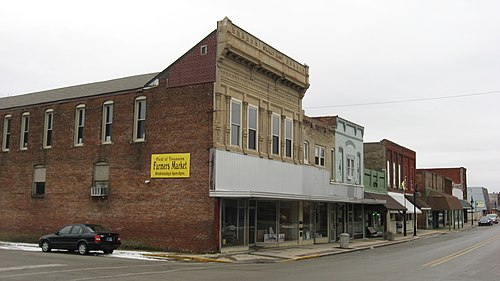 Main Street | |
 Location within Hamilton County, Indiana and the state of Indiana | |
| Country | United States |
| State | Indiana |
| County | Hamilton |
| Area | |
| • Total | 2.14 sq mi (5.5 km2) |
| • Land | 2.14 sq mi (5.5 km2) |
| • Water | 0 sq mi (0 km2) |
| Elevation | 948 ft (289 m) |
| Population (2010)[2] | |
| • Total | 2,665 |
| • Estimate (2014) | 2,893 |
| • Density | 1,245/sq mi (481/km2) |
| Time zone | UTC−5 (EST) |
| • Summer (DST) | UTC−4 (EDT) |
| ZIP code | 46069 |
| Area code | 317 |
| FIPS code | 18-69354 |
| GNIS feature ID | 0430329[1] |
Sheridan is a town in the state of Indiana, in the United States. As of the 2010 census, the population was 2,665.
References
- ↑ 1.0 1.1 1.2 "Sheridan". Geographic Names Information System. United States Geological Survey. Retrieved November 13, 2015.
- ↑ "American FactFinder". United States Census Bureau. Retrieved November 13, 2015.