Датотека:LA2-Africa-UTM-zones.png
Величина овог приказа: 541 × 599 пиксела. 3 друге резолуције: 217 × 240 пиксела | 433 × 480 пиксела | 948 × 1.050 пиксела.
Оригинална датотека (948 × 1.050 пиксела, величина датотеке: 225 kB, MIME тип: image/png)
| Ово је датотека са Викимедијине оставе. Информације са њене странице са описом приказане су испод. Викимедијина остава је складиште слободно лиценциралних мултимедијалних датотека. И Ви можете да помогнете. |
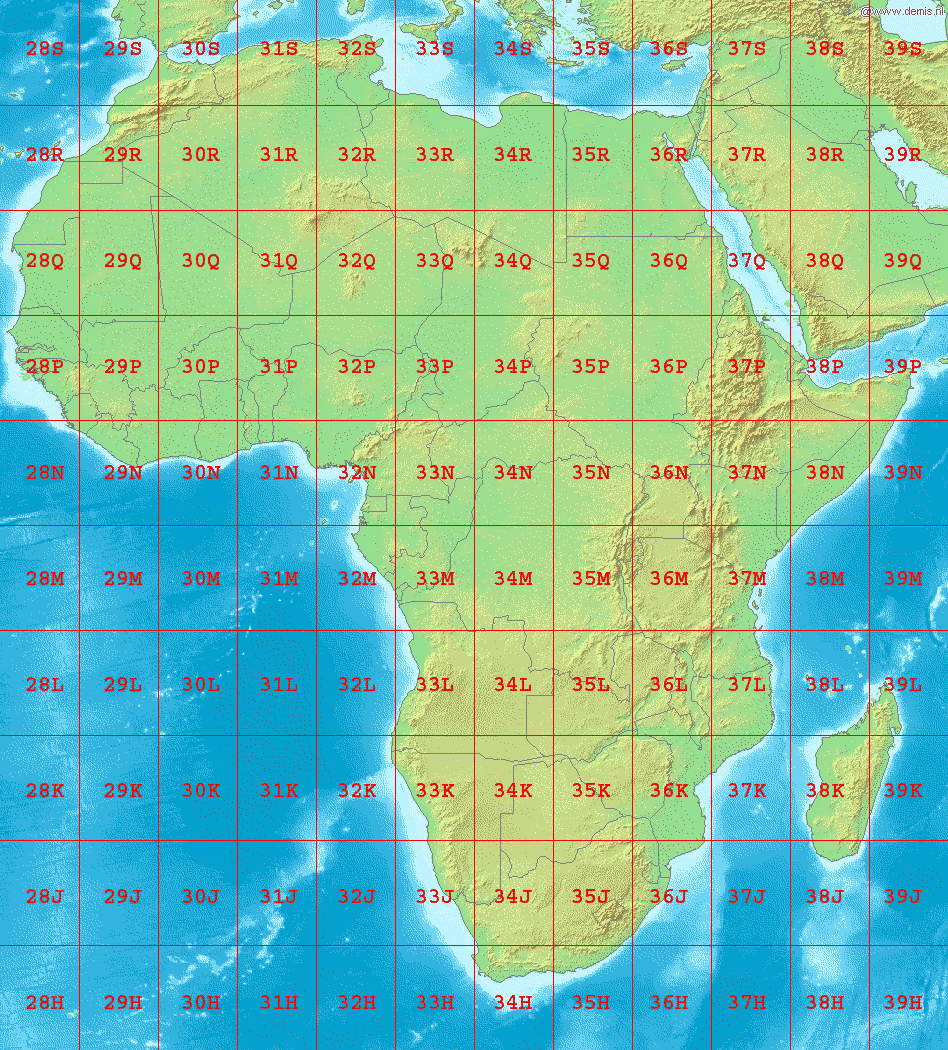
Map of Africa, showing the latitude and longitude zones of the en:Universal Transverse Mercator coordinate system, from 28H to 39S.
Bounding box West -18°, South -40°, East 54°, North 40°. Center at 0°00′00″N 18°00′00″E / 0.00000°N 18.00000°E.
This image is in the public domain because it came from the site https://www.demis.nl/products/web-map-server/examples/ and was released by the copyright holder. Permission is granted to copy, distribute and/or modify this map since it is based on free of copyright images from: www.demis.nl. See also approval email on de.wp and its clarification.
|
| This work has been released into the public domain by its copyright holder, www.demis.nl. This applies worldwide. У неким земљама, ово није законски могуће; у том случају: www.demis.nl творац овог дела дозвољава свакоме да користи ово дело за било коју намену, без било каквих услова, осим услова које намеће закон.
|
Историја датотеке
Кликните на датум/време да бисте видели тадашњу верзију датотеке.
| Датум/време | Минијатура | Димензије | Корисник | Коментар | |
|---|---|---|---|---|---|
| тренутна | 04:32, 3. септембар 2006. | 948 × 1.050 (225 kB) | LA2 | Map of Africa, showing the latitude and longitude zones of the en:Universal Transverse Mercator coordinate system, from 28H to 39S. Bounding box West -18°, South -40°, East 54°, North 40°. Center at {{coor d|0.00000|S|18.00000|E|scale:48000000}} |
Употреба датотеке
Следећа страница користи ову датотеку:
Глобална употреба датотеке
Други викији који користе ову датотеку:
- Употреба на ar.wikipedia.org
- Употреба на da.wikipedia.org
- Употреба на de.wikipedia.org
- Употреба на en.wikipedia.org
- Употреба на fa.wikipedia.org
- Употреба на hu.wikipedia.org
- Употреба на nl.wikipedia.org
- Употреба на no.wikipedia.org
- Употреба на pl.wikipedia.org
- Употреба на th.wikipedia.org