Category:Glas Maol
Jump to navigation
Jump to search
1068m high mountain in Scotland 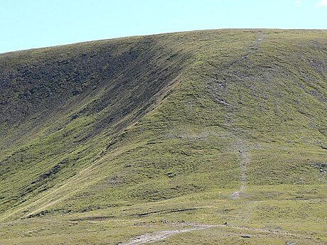 | |||||
| Upload media | |||||
| Instance of | |||||
|---|---|---|---|---|---|
| Location |
| ||||
| Mountain range | |||||
| Topographic prominence |
| ||||
| Elevation above sea level |
| ||||
| Parent peak | |||||
 | |||||

Glas Maol is the highest point in the Mounth hills, in the southeastern part of the Highlands of Scotland. The broad, flat summit is divided between the council area of Aberdeenshire, Angus and Perth and Kinross, though the highest point lies wholly within Angus; indeed Glas Maol is the highest point in that council area.
Subcategories
This category has the following 19 subcategories, out of 19 total.
A
- Adam Watson on Glas Maol (3 F)
B
- Bada na Goibhre (3 F)
- Bodnasparet (3 F)
C
- Craigie Doubs (3 F)
D
- Distant views of Glas Maol (24 F)
G
- Glas Maol summit (10 F)
H
L
M
- Meall Odhar, Aberdeenshire (25 F)
S
- Shank of Drumfollow (4 F)
T
Media in category "Glas Maol"
The following 20 files are in this category, out of 20 total.
-
A peaty pool below Meall Odhar - geograph.org.uk - 1350969.jpg 640 × 480; 107 KB
-
Brudhach Mor - geograph.org.uk - 1350958.jpg 640 × 480; 113 KB
-
Cairn - geograph.org.uk - 41441.jpg 640 × 480; 77 KB
-
Dotterel on Glas Maol (1979) - geograph.org.uk - 1069949.jpg 625 × 405; 68 KB
-
Glas Maol and the A93 - geograph.org.uk - 2807499.jpg 800 × 530; 120 KB
-
Glas Maol on New Year's Day 1980 - geograph.org.uk - 1768800.jpg 800 × 533; 51 KB
-
Glas Maol Ski Run - geograph.org.uk - 1160914.jpg 640 × 480; 16 KB
-
Glas maol.jpg 640 × 480; 69 KB
-
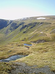
Lochans on White Brae - geograph.org.uk - 1349484.jpg 480 × 640; 128 KB
-
Ski lift, Glas Maol - geograph.org.uk - 20314.jpg 640 × 416; 38 KB
-
The Northern Slope of Glas Maol - geograph.org.uk - 1448982.jpg 640 × 427; 46 KB
-
The steep approach to Glas Maol. - geograph.org.uk - 413576.jpg 424 × 640; 75 KB
-
The wicked witch of Glas Maol^ - geograph.org.uk - 913788.jpg 480 × 640; 79 KB
-
Top of the Glas Maol Ski Tow - geograph.org.uk - 1160899.jpg 640 × 480; 26 KB
-
Towards Bathach Beag - geograph.org.uk - 402099.jpg 640 × 480; 46 KB
-
Track meeting point - geograph.org.uk - 403156.jpg 640 × 480; 110 KB
-
View towards Creag Leacach - geograph.org.uk - 1544569.jpg 640 × 425; 74 KB
-
Western Slope of Glas Maol - geograph.org.uk - 1448979.jpg 427 × 640; 54 KB
-
Western slopes of Glas Maol - geograph.org.uk - 41018.jpg 640 × 480; 65 KB
-
Winter Nav - geograph.org.uk - 744167.jpg 640 × 480; 22 KB