Sruby is a municipality and village in Ústí nad Orlicí District in the Pardubice Region of the Czech Republic. It has about 600 inhabitants.
Sruby | |
|---|---|
 Church of the Assumption of Jesus | |
 Flag  Coat of arms | |
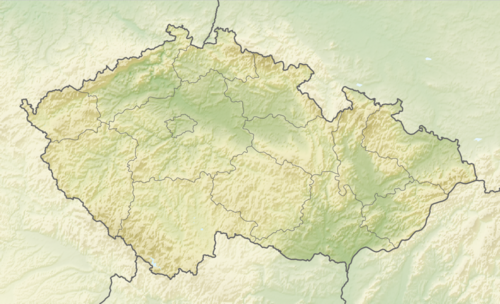 Sruby Location in the Czech Republic | |
| Coordinates: 49°59′49″N 16°10′28″E / 49.99694°N 16.17444°E | |
| Country | |
| Region | Pardubice |
| District | Ústí nad Orlicí |
| First mentioned | 1292 |
| Area | |
| • Total | 6.90 km2 (2.66 sq mi) |
| Elevation | 280 m (920 ft) |
| Population (2024-01-01)[1] | |
| • Total | 588 |
| • Density | 85/km2 (220/sq mi) |
| Time zone | UTC+1 (CET) |
| • Summer (DST) | UTC+2 (CEST) |
| Postal code | 565 44 |
| Website | www |
Sruby lies approximately 17 kilometres (11 mi) west of Ústí nad Orlicí, 29 km (18 mi) east of Pardubice, and 126 km (78 mi) east of Prague.
Administrative parts
editThe village of Hluboká is an administrative part of Sruby.
Demographics
edit| Year | Pop. | ±% |
|---|---|---|
| 1869 | 595 | — |
| 1880 | 597 | +0.3% |
| 1890 | 615 | +3.0% |
| 1900 | 555 | −9.8% |
| 1910 | 621 | +11.9% |
| 1921 | 642 | +3.4% |
| 1930 | 733 | +14.2% |
| 1950 | 557 | −24.0% |
| 1961 | 599 | +7.5% |
| 1970 | 530 | −11.5% |
| 1980 | 575 | +8.5% |
| 1991 | 559 | −2.8% |
| 2001 | 534 | −4.5% |
| 2011 | 554 | +3.7% |
| 2021 | 566 | +2.2% |
| Source: Censuses[2][3] | ||
References
edit- ^ "Population of Municipalities – 1 January 2024". Czech Statistical Office. 2024-05-17.
- ^ "Historický lexikon obcí České republiky 1869–2011 – Okres Ústí nad Orlicí" (in Czech). Czech Statistical Office. 2015-12-21. pp. 11–12.
- ^ "Population Census 2021: Population by sex". Public Database. Czech Statistical Office. 2021-03-27.
External links
editWikimedia Commons has media related to Sruby.
This Pardubice Region location article is a stub. You can help Wikipedia by expanding it. |