Flemingsburg Junction, Kentucky
Flemingsburg Junction, Kentucky | |
|---|---|
 Flemingsburg Junction | |
| Coordinates: 38°21′37″N 83°50′21″W / 38.36028°N 83.83917°W | |
| Country | United States |
| State | Kentucky |
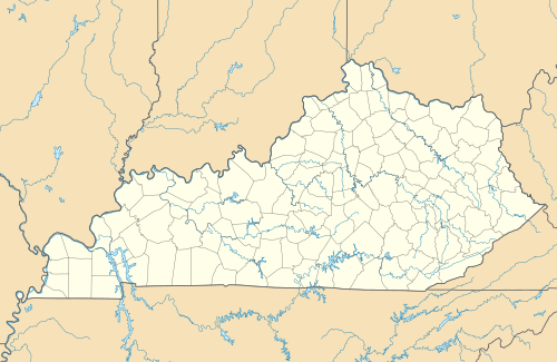
| County | Fleming |
| Elevation | 899 ft (274 m) |
| Time zone | UTC-5 (Eastern (EST)) |
| • Summer (DST) | UTC-4 (EDT) |
| Area code | 606 |
| GNIS feature ID | 494256[1] |
Flemingsburg Junction is an unincorporated community in Fleming County, Kentucky, United States. Flemingsburg Junction is located at the junction of Kentucky Route 161 and Kentucky Route 170, 4.7 miles (7.6 km) west-northwest of Flemingsburg.[2] The Ben Johnson House, which is listed on the National Register of Historic Places, is located in Flemingsburg Junction.[3]
References
- ^ "Flemingsburg Junction". Geographic Names Information System. United States Geological Survey, United States Department of the Interior.
- ^ State Primary Road System: Fleming County (PDF) (Map). Kentucky Transportation Cabinet. 2011. Retrieved March 26, 2013.
{{cite map}}: Cite has empty unknown parameter:|trans_title=(help) - ^ "National Register Information System". National Register of Historic Places. National Park Service. July 9, 2010.
Municipalities and communities of Fleming County, Kentucky, United States | ||
|---|---|---|
| Cities |  | |
| CDP | ||
| Other unincorporated communities | ||
This Fleming County, Kentucky state location article is a stub. You can help Wikipedia by expanding it. |