Autignac: Difference between revisions
Content deleted Content added
m Bot: Migrating 23 interwiki links, now provided by Wikidata on d:q244801 (Report Errors) |
better image |
||
| Line 1: | Line 1: | ||
{{Infobox French commune |
{{Infobox French commune |
||
|name = Autignac |
|name = Autignac |
||
|image = |
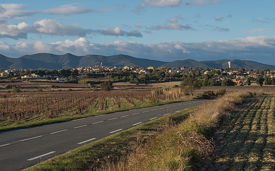
|image = Autignac, Hérault 01.jpg |
||
|caption = Square |
|caption = Square |
||
|image coat of arms = Blason ville fr Autignac (Hérault).svg |
|image coat of arms = Blason ville fr Autignac (Hérault).svg |
||
Revision as of 18:24, 7 December 2013
Autignac | |
|---|---|
 Square | |
 Coat of arms | |
Location of Autignac  | |
| Country | France |
| Region | Occitania |
| Department | Hérault |
| Arrondissement | Béziers |
| Canton | Murviel-lès-Béziers |
| Intercommunality | Framps 909 |
| Government | |
| • Mayor (2008–2014) | Madame Jeanine Pons |
| Area 1 | 11.55 km2 (4.46 sq mi) |
| Population (2008) | 808 |
| • Density | 70/km2 (180/sq mi) |
| Time zone | UTC+01:00 (CET) |
| • Summer (DST) | UTC+02:00 (CEST) |
| INSEE/Postal code | 34018 /34480 |
| Elevation | 79–205 m (259–673 ft) (avg. 57 m or 187 ft) |
| 1 French Land Register data, which excludes lakes, ponds, glaciers > 1 km2 (0.386 sq mi or 247 acres) and river estuaries. | |
Autignac is a commune in the Hérault department in southern France.

Population
| Year | Pop. | ±% |
|---|---|---|
| 1962 | 994 | — |
| 1968 | 1,005 | +1.1% |
| 1975 | 910 | −9.5% |
| 1982 | 948 | +4.2% |
| 1990 | 698 | −26.4% |
| 1999 | 747 | +7.0% |
| 2008 | 808 | +8.2% |
See also
References
Wikimedia Commons has media related to Autignac.
This Hérault geographical article is a stub. You can help Wikipedia by expanding it. |