Autignac
Autignac | |
|---|---|
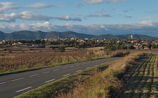 A general view of Autignac | |
 Coat of arms | |
Location of Autignac  | |
 Autignac  Autignac | |
| Coordinates: 43°30′N 3°10′E / 43.5°N 3.17°E | |
| Country | France |
| Region | Occitania |
| Department | Hérault |
| Arrondissement | Béziers |
| Canton | Cazouls-lès-Béziers |
| Intercommunality | CC Les Avant-Monts |
| Government | |
| • Mayor (2020–2026) | Jean-Claude Marchi[1] |
| Area 1 | 11.55 km2 (4.46 sq mi) |
| Population (2021)[2] | 942 |
| • Density | 82/km2 (210/sq mi) |
| Time zone | UTC+01:00 (CET) |
| • Summer (DST) | UTC+02:00 (CEST) |
| INSEE/Postal code | 34018 /34480 |
| Elevation | 79–205 m (259–673 ft) (avg. 57 m or 187 ft) |
| 1 French Land Register data, which excludes lakes, ponds, glaciers > 1 km2 (0.386 sq mi or 247 acres) and river estuaries. | |
Autignac (French pronunciation: [otiɲak]; Languedocien: Autinhac) is a commune in the Hérault department in southern France.
Winemaking
Autignac is one of the seven communes which produces Faugères AOC wine.
Population
| Year | Pop. | ±% |
|---|---|---|
| 1962 | 994 | — |
| 1968 | 1,005 | +1.1% |
| 1975 | 910 | −9.5% |
| 1982 | 948 | +4.2% |
| 1990 | 698 | −26.4% |
| 1999 | 747 | +7.0% |
| 2008 | 808 | +8.2% |
| 2015 | 896 | +10.9% |
See also
References
Wikimedia Commons has media related to Autignac.
- ^ "Répertoire national des élus: les maires" (in French). data.gouv.fr, Plateforme ouverte des données publiques françaises. 13 September 2022.
- ^ "Populations légales 2021" (in French). The National Institute of Statistics and Economic Studies. 28 December 2023.

| Authority control databases: National |
|---|
This Hérault geographical article is a stub. You can help Wikipedia by expanding it. |