Barbata
Barbata | |
|---|---|
| Comune di Barbata | |
Location of Barbata  | |
 Barbata Location of Barbata in Italy 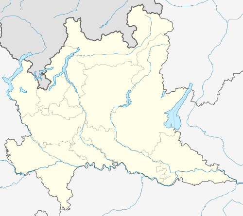 Barbata Barbata (Lombardy) | |
| Coordinates: 45°29′N 9°47′E / 45.483°N 9.783°E | |
| Country | Italy |
| Region | Lombardy |
| Province | Province of Bergamo (BG) |
| Area | |
| • Total | 7.98 km2 (3.08 sq mi) |
| Population (Dec. 2004)[2] | |
| • Total | 712 |
| Demonym | barbatesi |
| Time zone | UTC+1 (CET) |
| • Summer (DST) | UTC+2 (CEST) |
| Postal code | 24040 |
| Dialing code | 0363 |
Barbata is a comune (municipality) in the Province of Bergamo in the Italian region Lombardy, located about 50 km east of Milan and about 25 km southeast of Bergamo. As of 31 December 2004, it had a population of 628 and an area of 8.0 km2.[3]
Barbata borders the following municipalities: Antegnate, Camisano, Casaletto di Sopra, Covo, Fontanella, Isso.
Demographic evolution
References
- ^ "Superficie di Comuni Province e Regioni italiane al 9 ottobre 2011". Italian National Institute of Statistics. Retrieved 16 March 2019.
- ^ "Popolazione Residente al 1° Gennaio 2018". Italian National Institute of Statistics. Retrieved 16 March 2019.
- ^ All demographics and other statistics: Italian statistical institute Istat.
This article on a location in the Province of Bergamo is a stub. You can help Wikipedia by expanding it. |