Khnushinak
Khnushinak
Խնուշինակ Xanoba | |
|---|---|
 Scenery around Khnushinak | |
 Khnushinak 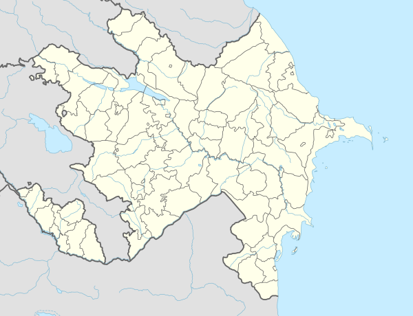 Khnushinak | |
| Coordinates: 39°45′51.8″N 47°02′25.8″E / 39.764389°N 47.040500°E | |
| Country | |
| District | Khojavend (de jure) |
| Province | Martuni (de facto) |
| Population (2015)[1] | |
| • Total | 615 |
| Time zone | UTC+4 (AMT) |
Khnushinak (Armenian: Խնուշինակ) or Khanoba (Azerbaijani: Xanoba) is a village de facto in the Martuni Province of the self-proclaimed Republic of Artsakh, de jure in the Khojavend District of Azerbaijan. The village has an ethnic Armenian population, and had an Armenian majority in 1989.[2]
History
During the Soviet period, the village was a part of the Martuni District of the Nagorno-Karabakh Autonomous Oblast.
Demographics
The village had 664 inhabitants in 2005,[3] and 615 inhabitants in 2015.[1]
Gallery
-
St. Astvatsatsin Church in Khnushinak
-
A monument for the fallen in the First Nagorno-Karabakh War


References
- ^ a b Hakob Ghahramanyan. "Directory of socio-economic characteristics of NKR administrative-territorial units (2015)".
- ^ Андрей Зубов. "Андрей Зубов. Карабах: Мир и Война". drugoivzgliad.com.
- ^ "The Results of the 2005 Census of the Nagorno-Karabakh Republic" (PDF). National Statistic Service of the Republic of Artsakh.
External links
Wikimedia Commons has media related to Xanoba (Xocavənd).
Capital: Martuni | ||
| Urban communities |  | |
| Rural communities | ||
| Not under Artsakh control |
| |

This Khojavend District location article is a stub. You can help Wikipedia by expanding it. |
This Artsakh location article is a stub. You can help Wikipedia by expanding it. |