Llorac
Llorac | |
|---|---|
 | |
 Flag  Coat of arms | |
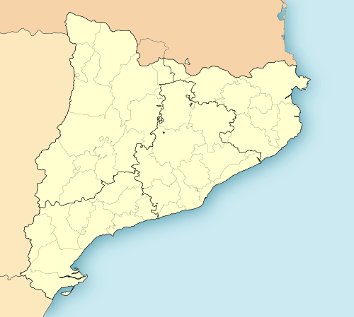 Llorac Location in Catalonia | |
| Coordinates: 41°33′29″N 1°18′30″E / 41.558°N 1.3083°E | |
| Country | |
| Autonomous community | |
| Province | |
| Comarca | |
| Government | |
| • Mayor | Santiago Trilla Guim (2015)[1] |
| Area | |
| • Total | 23.3 km2 (9.0 sq mi) |
| Population (2014)[1] | |
| • Total | 112 |
| • Density | 4.8/km2 (12/sq mi) |
| Time zone | UTC+1 (CET) |
| • Summer (DST) | UTC+2 (CEST) |
| Website | www |
Llorac is a rural municipality and village in the comarca of Conca de Barberà in the province of Tarragona in Catalonia, Spain.
The municipality includes the settlements of Llorac, Rauric, La Cirera, Albió, and Montargull.
A twice-daily bus route between Barcelona and Guimerà traverses the municipality.
Economic activity includes the cultivation of cereals, almonds and vines. Garrotxa and other cheeses are produced in Albió.[3]
References
- ^ a b "Ajuntament de Llorac". Generalitat of Catalonia. Retrieved 2015-11-13.
- ^ "El municipi en xifres: Llorac". Statistical Institute of Catalonia. Retrieved 2015-11-23.
- ^ "Formatgeria Sant Gil d´Albió". Generalitat de Catalunya. Retrieved 2012-01-29.
External links
Places adjacent to Llorac | |
|---|---|
Municipalities of Conca de Barberà | ||
|---|---|---|
This Province of Tarragona location article is a stub. You can help Wikipedia by expanding it. |