Grabels
Grabels | |
|---|---|
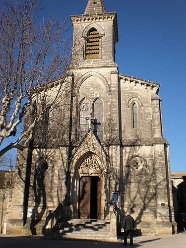 Church | |
 Coat of arms | |
Location of Grabels  | |
| Country | France |
| Region | Occitania |
| Department | Hérault |
| Arrondissement | Montpellier |
| Canton | Montpellier-10 |
| Intercommunality | Montpellier |
| Government | |
| • Mayor (2008-2014) | René Revol (PG) |
| Area 1 | 16.24 km2 (6.27 sq mi) |
| Population (2008) | 6,092 |
| • Density | 380/km2 (970/sq mi) |
| Time zone | UTC+01:00 (CET) |
| • Summer (DST) | UTC+02:00 (CEST) |
| INSEE/Postal code | 34116 /34790 |
| Elevation | 50–167 m (164–548 ft) (avg. 68 m or 223 ft) |
| 1 French Land Register data, which excludes lakes, ponds, glaciers > 1 km2 (0.386 sq mi or 247 acres) and river estuaries. | |
Grabels is a commune in the Hérault département in the Languedoc-Roussillon region in southern France.
Population
| Year | 1962 | 1968 | 1975 | 1982 | 1990 | 1999 | 2008 |
|---|---|---|---|---|---|---|---|
| Population | 835 | 1020 | 1537 | 2527 | 3130 | 5438 | 6092 |

See also
References
Wikimedia Commons has media related to Grabels.
This Hérault geographical article is a stub. You can help Wikipedia by expanding it. |