Galzignano Terme
Galzignano Terme | |
|---|---|
| Comune di Galzignano Terme | |
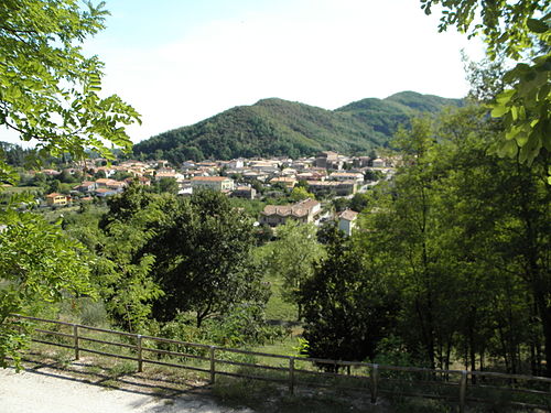 | |
Location of Galzignano Terme  | |
 Galzignano Terme Location of Galzignano Terme in Italy  Galzignano Terme Galzignano Terme (Veneto) | |
| Coordinates: 45°18′N 11°44′E / 45.300°N 11.733°E | |
| Country | Italy |
| Region | Veneto |
| Province | Padua (PD) |
| Frazioni | Canova, Cengolina Sottovenda, Civrana, Grottarole, Noiera, Regazzoni, Valsanzibio |
| Government | |
| • Mayor | Riccardo Masin |
| Area | |
| • Total | 18.1 km2 (7.0 sq mi) |
| Elevation | 22 m (72 ft) |
| Population (2008)[2] | |
| • Total | 4,411 |
| • Density | 240/km2 (630/sq mi) |
| Demonym | Galzignanesi |
| Time zone | UTC+1 (CET) |
| • Summer (DST) | UTC+2 (CEST) |
| Postal code | 35030 |
| Dialing code | 049 |
| Patron saint | Madonna del Rosario |
| Saint day | October 7 |
| Website | Official website |
Galzignano Terme is a comune (municipality) in the Province of Padua in the Italian region Veneto, located about 50 kilometres (31 mi) southwest of Venice and about 15 kilometres (9 mi) southwest of Padua.
Main sights
- Benedictine monastery of Santa Maria Annunziata, now in ruins.
- Camaldolese hermitage of Monte Rua
- Benedictine monastery of St. John the Baptist on Monte Venda (13th century), also in ruins
- Santa Maria Assunta - Church rebuilt in 1674.
- San Lorenzo di Valsanzibio - parish church
- Oratory of the Holy Trinity (14th century), housing some precious frescoes.
- Villa Rizzoli Benedetti (1st century, remade in the 18th century)
- Villa La Civrana (17th century)
- Villa Barbarigo Pizzoni Ardemani: main attraction in territory, located in the frazione Valsanzibio, with a notable 17th-century garden.
References
- ^ "Superficie di Comuni Province e Regioni italiane al 9 ottobre 2011". Italian National Institute of Statistics. Retrieved 16 March 2019.
- ^ All demographics and other statistics: Italian statistical institute Istat.
| International | |
|---|---|
| National | |
This article on a location in Veneto is a stub. You can help Wikipedia by expanding it. |