Hoaden
| Hoaden | |
|---|---|
 Hoaden Court, Hoaden | |
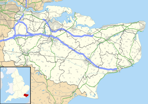 Hoaden Location within Kent | |
| OS grid reference | TR2760 |
| District | |
| Shire county | |
| Region | |
| Country | England |
| Sovereign state | United Kingdom |
| Post town | Canterbury |
| Postcode district | CT3 2 |
| Police | Kent |
| Fire | Kent |
| Ambulance | South East Coast |
Hoaden is a hamlet situated one mile (1.6 km) to the east of Elmstone, Kent, England. Within the hamlet is Hoaden Court.
External links[edit]
Media related to Hoaden at Wikimedia Commons

This Kent location article is a stub. You can help Wikipedia by expanding it. |