Harding, Illinois
This article needs additional citations for verification. (July 2012) |
Harding, Illinois | |
|---|---|
 Harding, Illinois  Harding, Illinois | |
| Coordinates: 41°30′54.25″N 88°50′58.06″W / 41.5150694°N 88.8494611°W | |
| Country | United States |
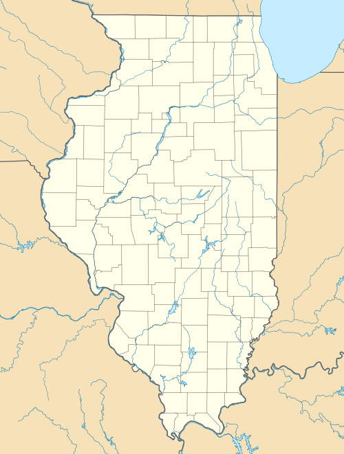
| State | Illinois |
| County | LaSalle |
| Elevation | 653 ft (199 m) |
| Time zone | UTC-6 (Central (CST)) |
| • Summer (DST) | UTC-5 (CDT) |
| Area code(s) | 815 & 779 |
| GNIS feature ID | 409771[1] |
Harding is an unincorporated community in Freedom Township, LaSalle County, Illinois, United States, 12 miles (19 km) north of the county seat of Ottawa.
Background
When surveyors began to determine the size of the area, Harding was to be approximately one square mile; however, Harding is only 1/2 of a mile in length from north to south and 1/5 mile wide. Crooked Leg Creek runs along the southern border. Containing less than fifty houses, this town has a population of less than 150.[2] The village has a United Methodist Church,[3] volunteer fire fighting station, small cemetery and Harding Grade School.[4] A small community building, centralized in the town, is used nearly every month to host a bluegrass music show. The mail is delivered by postal carriers from the nearest post office in Earlville.
References
Municipalities and communities of LaSalle County, Illinois, United States | ||
|---|---|---|
| Cities |  | |
| Villages | ||
| Townships |
| |
| CDPs | ||
| Other unincorporated communities | ||
| Ghost towns | ||
| Footnotes | ‡This populated place also has portions in an adjacent county or counties | |
This LaSalle County, Illinois location article is a stub. You can help Wikipedia by expanding it. |