Yuxarı Kürdmahmudlu
Yuxarı Kürdmahmudlu | |
|---|---|
Municipality | |
 Yuxarı Kürdmahmudlu  Yuxarı Kürdmahmudlu | |
| Coordinates: 39°35′57″N 47°26′57″E / 39.59917°N 47.44917°E | |
| Country | |
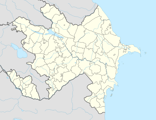
| District | Fuzuli |
| Population | |
| • Total | 1,269 |
| Time zone | UTC+4 (AZT) |
Yuxarı Kürdmahmudlu (Yukhary Kurdmahmudlu) is a village and municipality in the Fuzuli District of Azerbaijan. It has a population of 1,269.
References[edit]

This Fuzuli District location article is a stub. You can help Wikipedia by expanding it. |