Fukushima Prefectur
Fukushima Prefecture 福島県 | |
|---|---|
| Japanese transcription(s) | |
| • Japanese | 福島県 |
| • Rōmaji | Fukushima-ken |
 Seembol | |
 | |
| Kintra | Japan |
| Region | Tōhoku |
| Island | Honshu |
| Caipital | Fukushima (ceety) |
| Govrenment | |
| • Govrenor | Yūhei Satō |
| Area | |
| • Total | 13,782.54 km2 (5,321.47 sq mi) |
| Area rank | 3rd |
| Population (2010-10-01[1]) | |
| • Total | 2,028,752 |
| • Rank | 17t |
| • Density | 154/km2 (400/sq mi) |
| ISO 3166 code | JP-07 |
| Destricts | 13 |
| Municipalities | 59 |
| Flouer | Nemotoshakunage (Rhododendron brachycarpum) |
| Tree | Japanese zelkova (Zelkova serrata) |
| Bird | Narcissus Flycatcher (Ficedula narcissina) |
| Website | www |
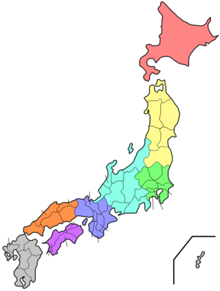
Fukushima Prefectur (福島県 Fukushima-ken) is a prefectur o Japan locatit in the Tōhoku region on the island o Honshu.[2] The caipital is the ceety o Fukushima.[3]
Notes
- ↑ National Census 2010 Preliminary Results
- ↑ Nussbaum, Louis-Frédéric. (2005). "Fukushima-ken" in Japan Encyclopedia, p. 218 at Google Books; "Tōhoku" in p. 970 at Google Books
- ↑ Nussbaum, "Fukushima" in p. 218 at Google Books
Freemit airtins
| Wikimedia Commons haes media relatit tae Fukushima Prefecture. |
| Wikinews haes relatit news: Fukushima Prefectur |
- Offeecial Fukushima Prefectur wabsteid (in Japanese)
- Offeecial Fukushima Prefectur wabsteid Archived 2011-03-22 at the Wayback Machine