Punch Branch
Paghimo ni bot Lsjbot. |
| Punch Branch | |
| Suba | |
| Nasod | |
|---|---|
| Estado | Mississippi |
| Kondado | Jones County |
| Gitas-on | 90 m (295 ft) |
| Tiganos | 31°25′25″N 89°20′30″W / 31.4235°N 89.34173°W |
| Timezone | CST (UTC-6) |
| - summer (DST) | CDT (UTC-5) |
| GeoNames | 4442622 |
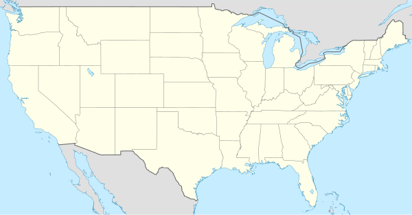
Suba ang Punch Branch sa Tinipong Bansa.[1] Ang Punch Branch nahimutang sa kondado sa Jones County ug estado sa Mississippi, sa habagatan-sidlakang bahin sa nasod, 1,400 km sa habagatan-kasadpan sa ulohang dakbayan Washington, D.C.
Punch Branch
Nahimutangan sa Punch Branch sa Tinipong Bansa.
Ang mga gi basihan niini
- ↑ Punch Branch sa Geonames.org (cc-by); post updated 2006-01-15; database download sa 2017-02-28