Cléguérec: Difference between revisions
Content deleted Content added
Adding custom short description: "Commune in Brittany, France" (Shortdesc helper) |
GreenC bot (talk | contribs) Add {{France metadata Wikidata}} (via popbot) |
||
| Line 18: | Line 18: | ||
|elevation max m = 281 |
|elevation max m = 281 |
||
|area km2 = 62.99 |
|area km2 = 62.99 |
||
|population = |
|population = {{France metadata Wikidata|population_total}} |
||
|population date = |
|population date = {{France metadata Wikidata|population_as_of}} |
||
|population footnotes = {{France metadata Wikidata|population_footnotes}} |
|||
}} |
}} |
||
Revision as of 16:20, 19 May 2019
Cléguérec
Klegereg | |
|---|---|
 The town hall in Cléguérec | |
 Coat of arms | |
Location of Cléguérec  | |
 Cléguérec 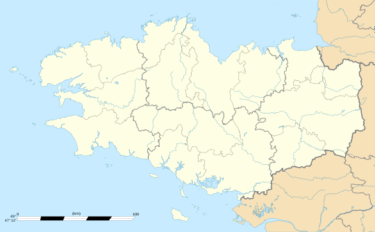 Cléguérec | |
| Coordinates: 48°07′30″N 3°04′10″W / 48.125°N 3.0694°W | |
| Country | France |
| Region | Brittany |
| Department | Morbihan |
| Arrondissement | Pontivy |
| Canton | Gourin |
| Intercommunality | Pontivy Communauté |
| Government | |
| • Mayor (2008—to date) | Marc Ropers |
| Area 1 | 62.99 km2 (24.32 sq mi) |
| Population (2021)[1] | 2,839 |
| • Density | 45/km2 (120/sq mi) |
| Time zone | UTC+01:00 (CET) |
| • Summer (DST) | UTC+02:00 (CEST) |
| INSEE/Postal code | 56041 /56480 |
| Elevation | 55–281 m (180–922 ft) |
| 1 French Land Register data, which excludes lakes, ponds, glaciers > 1 km2 (0.386 sq mi or 247 acres) and river estuaries. | |
Cléguérec (Klegereg in Breton) is a commune in the Morbihan department of Brittany in north-western France.
Demographics
Inhabitants of Cléguérec are called in French Cléguérecois.
Breton language
In 2008, 13,85% of children in the commune attended bilingual primary schools.[2]
See also
- Communes of the Morbihan department
- Gaston-Auguste Schweitzer Sculptor of Cléguérec war memorial
Notes
- ^ "Populations légales 2021" (in French). The National Institute of Statistics and Economic Studies. 28 December 2023.
- ^ Template:Fr icon Ofis ar Brezhoneg: Enseignement bilingue
References
External links
Wikimedia Commons has media related to Cléguérec.
- Official site Template:Fr icon
- French Ministry of Culture list for Cléguérec Template:Fr icon
- Map of Cléguérec on Michelin Template:En icon
This Morbihan geographical article is a stub. You can help Wikipedia by expanding it. |