Castelli Calepio
Castelli Calepio | |
|---|---|
| Comune di Castelli Calepio | |
 Coat of arms | |
Location of Castelli Calepio  | |
 Castelli Calepio Location of Castelli Calepio in Italy 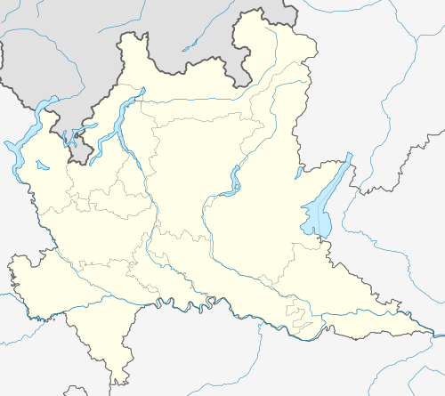 Castelli Calepio Castelli Calepio (Lombardy) | |
| Coordinates: 45°38′N 9°54′E / 45.633°N 9.900°E | |
| Country | Italy |
| Region | Lombardy |
| Province | Bergamo (BG) |
| Frazioni | Tagliuno (municipal seat), Calepio, Cividino, Quintano |
| Government | |
| • Mayor | Giovanni Benini |
| Area | |
| • Total | 9.9 km2 (3.8 sq mi) |
| Elevation | 259 m (850 ft) |
| Population | |
| • Total | 10,018 |
| • Density | 1,000/km2 (2,600/sq mi) |
| Demonym | Castellesi |
| Time zone | UTC+1 (CET) |
| • Summer (DST) | UTC+2 (CEST) |
| Postal code | 24060 |
| Dialing code | 035 (Tagliuno and Calepio), 030 (Cividino and Quintano) |
| Website | Official website |
Castelli Calepio is a comune (municipality) in the Province of Bergamo in the Italian region of Lombardy, located about 60 kilometres (37 mi) northeast of Milan and about 20 kilometres (12 mi) southeast of Bergamo. The municipal seat is in the frazione of Tagliuno.
Castelli Calepio borders the following municipalities: Capriolo, Credaro, Gandosso, Grumello del Monte, Palazzolo sull'Oglio.
References
- ^ "Superficie di Comuni Province e Regioni italiane al 9 ottobre 2011". Italian National Institute of Statistics. Retrieved 16 March 2019.
- ^ All demographics and other statistics: Italian statistical institute Istat.
- ^ "Popolazione Residente al 1° Gennaio 2018". Italian National Institute of Statistics. Retrieved 16 March 2019.
External links
This article on a location in the Province of Bergamo is a stub. You can help Wikipedia by expanding it. |