Donora–Webster Bridge: Difference between revisions
stub sorting |
+{{Washington County History & Landmarks Foundation}} |
||
| Line 80: | Line 80: | ||
{{National Register of Historic Places in Pennsylvania}} |
{{National Register of Historic Places in Pennsylvania}} |
||
{{NRHP bridges}} |
{{NRHP bridges}} |
||
{{Washington County History & Landmarks Foundation}} |
|||
[[Category:Bridges on the National Register of Historic Places in Pennsylvania]] |
[[Category:Bridges on the National Register of Historic Places in Pennsylvania]] |
||
[[Category:Buildings and structures completed in 1908]] |
[[Category:Buildings and structures completed in 1908]] |
||
Revision as of 04:21, 8 August 2012
Donora-Webster Bridge | |
|---|---|
| Coordinates | 40°11′02″N 79°51′07″W / 40.184°N 79.852°W |
| Carries | 2 lanes of 10th Street |
| Crosses | Monongahela River |
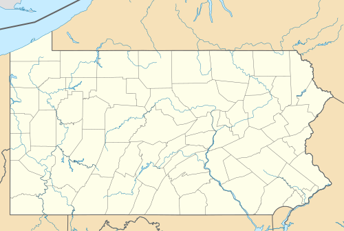
| Locale | Donora, Pennsylvania and Rostraver Township, Pennsylvania |
| Characteristics | |
| Design | Truss bridge |
| Total length | 1,531 feet (467 m) |
| Longest span | 515 feet (157 m) |
| Clearance below | 67 feet (20 m) |
| History | |
| Opened | 1908 |
| Location | |
 | |
Webster Donora Bridge | |
 Webster Donora Bridge in 1982 | |
 | |
| Location | A 143 over Monongahela River, Donora, Pennsylvania |
|---|---|
| Area | 1.5 acres (0.61 ha) |
| Built | 1906 |
| Architect | Wylie,William; Sofias Construction Company |
| Architectural style | Multiple-span through truss |
| MPS | Highway Bridges Owned by the Commonwealth of Pennsylvania, Department of Transportation TR |
| NRHP reference No. | 88000813[1] |
| Added to NRHP | June 22, 1988 |
The Donora-Webster Bridge is a truss bridge spanning the Monongahela River between the borough of Donora, Pennsylvania and the village of Webster in Rostraver Township, Pennsylvania. Originally built in 1908 to serve rail traffic, the bridge was eventually fully converted in 1938 for automobile use only. The structure connects Route 837 on the west bank of the river and Route 906 on the east side. As of July 14, 2009, the Donora-Webster bridge was closed due to its structural deficiency; its future remains uncertain. The closest open crossings are at Route 1022 (Stan Musial Bridge) to the south (upstream), and the Route 136 (Monongahela City Bridge) to the north (downstream), a several-mile detour either way.
It is designated as a historic bridge by the Washington County History & Landmarks Foundation.[2]
See also
References
- ^ "National Register Information System". National Register of Historic Places. National Park Service. March 13, 2009.
- ^ "Webster-Donora Bridge". Landmark Registry - Bridges. Washington County History & Landmarks Foundation. 2008. Retrieved 2010-11-08.

This article about a specific bridge in the United States is a stub. You can help Wikipedia by expanding it. |