Locatello: Difference between revisions
m r2.7.3) (Robot: Adding kk:Локателло |
→References: add authority control |
||
| (12 intermediate revisions by 9 users not shown) | |||
| Line 12: | Line 12: | ||
| pushpin_label_position = |
| pushpin_label_position = |
||
| pushpin_map_alt = |
| pushpin_map_alt = |
||
| coordinates = {{coord|45|50|N|9|32|E|type:city(785)_region:IT|display=inline,title}} |
|||
| latd = 45 |latm = 50 |lats = |latNS = N |
|||
| longd = 9 |longm = 32 |longs = |longEW = E |
|||
| coordinates_type = type:city(785)_region:IT |
|||
| coordinates_display = title |
|||
| coordinates_footnotes = |
| coordinates_footnotes = |
||
| region = [[Lombardy]] |
| region = [[Lombardy]] |
||
| Line 41: | Line 38: | ||
}} |
}} |
||
'''Locatello''' is a ''[[comune]]'' (municipality) in the [[Province of Bergamo]] in the [[Italy|Italian]] region of [[Lombardy]], located about 50 |
'''Locatello''' ([[Bergamasque]]: {{lang|lmo|Locadèl}}) is a ''[[comune]]'' (municipality) in the [[Province of Bergamo]] in the [[Italy|Italian]] region of [[Lombardy]], located about {{convert|50|km|mi}} northeast of [[Milan]] and about {{convert|20|km|mi}} northwest of [[Bergamo]]. As of 31 December 2004, it had a population of 785 and an area of {{convert|3.8|km2|mi2}}.<ref name="istat">All demographics and other statistics: Italian statistical institute [[National Institute of Statistics (Italy)|Istat]].</ref> |
||
Locatello borders the following municipalities: [[Brumano]], [[Corna Imagna]], [[Fuipiano Valle Imagna]], [[Rota d'Imagna]]. |
Locatello borders the following municipalities: [[Brumano]], [[Corna Imagna]], [[Fuipiano Valle Imagna]], [[Rota d'Imagna]]. |
||
| Line 125: | Line 122: | ||
<references/> |
<references/> |
||
{{clear}} |
|||
{{Province of Bergamo}} |
{{Province of Bergamo}} |
||
{{authority control}} |
|||
| ⚫ | |||
[[de:Locatello]] |
|||
| ⚫ | |||
[[es:Locatello]] |
|||
[[eo:Locatello]] |
|||
[[fr:Locatello]] |
|||
[[ia:Locatello]] |
|||
[[it:Locatello]] |
|||
[[kk:Локателло]] |
|||
[[lmo:Locadèl]] |
|||
[[nl:Locatello]] |
|||
[[ja:ロカテッロ]] |
|||
[[nap:Locatello]] |
|||
[[pl:Locatello]] |
|||
[[pt:Locatello]] |
|||
[[ro:Locatello]] |
|||
[[ru:Локателло]] |
|||
[[tl:Locatello]] |
|||
[[uk:Локателло]] |
|||
[[vi:Locatello]] |
|||
[[vo:Locatello]] |
|||
[[war:Locatello]] |
|||
Latest revision as of 19:14, 29 February 2020
Locatello | |
|---|---|
| Comune di Locatello | |
 Locatello | |
Location of Locatello  | |
 Locatello Location of Locatello in Italy 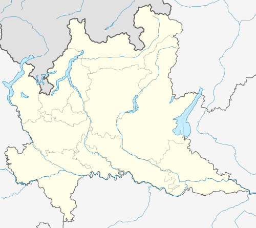 Locatello Locatello (Lombardy) | |
| Coordinates: 45°50′N 9°32′E / 45.833°N 9.533°E | |
| Country | Italy |
| Region | Lombardy |
| Province | Province of Bergamo (BG) |
| Area | |
| • Total | 3.8 km2 (1.5 sq mi) |
| Elevation | 557 m (1,827 ft) |
| Population (Dec. 2004)[2] | |
| • Total | 785 |
| • Density | 210/km2 (540/sq mi) |
| Demonym | Locatellesi (baeloch de locadel) |
| Time zone | UTC+1 (CET) |
| • Summer (DST) | UTC+2 (CEST) |
| Postal code | 24030 |
| Dialing code | 035 |
Locatello (Bergamasque: Locadèl) is a comune (municipality) in the Province of Bergamo in the Italian region of Lombardy, located about 50 kilometres (31 mi) northeast of Milan and about 20 kilometres (12 mi) northwest of Bergamo. As of 31 December 2004, it had a population of 785 and an area of 3.8 square kilometres (1.5 sq mi).[3]
Locatello borders the following municipalities: Brumano, Corna Imagna, Fuipiano Valle Imagna, Rota d'Imagna.
The name of this village comes from the family name : "Locatelli", a noble Italian family. The family " Locatelli " is on the base a single family which, later a millennium divided at the four corners of the world.
Demographic evolution
[edit]References
[edit]- ^ "Superficie di Comuni Province e Regioni italiane al 9 ottobre 2011". Italian National Institute of Statistics. Retrieved 16 March 2019.
- ^ "Popolazione Residente al 1° Gennaio 2018". Italian National Institute of Statistics. Retrieved 16 March 2019.
- ^ All demographics and other statistics: Italian statistical institute Istat.
This article on a location in the Province of Bergamo is a stub. You can help Wikipedia by expanding it. |