Landebaëron: Difference between revisions
Content deleted Content added
JJMC89 bot (talk | contribs) Migrate {{Infobox French commune}} coordinates parameters to {{Coord}}, see Wikipedia:Coordinates in infoboxes |
img |
||
| Line 2: | Line 2: | ||
|name = Landebaëron |
|name = Landebaëron |
||
|native name = Landebaeron |
|native name = Landebaeron |
||
|image = Église 2012-10-09 16-27-40.jpg |
|||
|caption = The church in Landebaëron |
|||
|coordinates = {{coord|48.6353|-3.2081|format=dms|display=inline,title}} |
|coordinates = {{coord|48.6353|-3.2081|format=dms|display=inline,title}} |
||
|INSEE = 22095 |
|INSEE = 22095 |
||
Revision as of 22:47, 8 April 2017
Landebaëron
Landebaeron | |
|---|---|
 The church in Landebaëron | |
Location of Landebaëron  | |
 Landebaëron 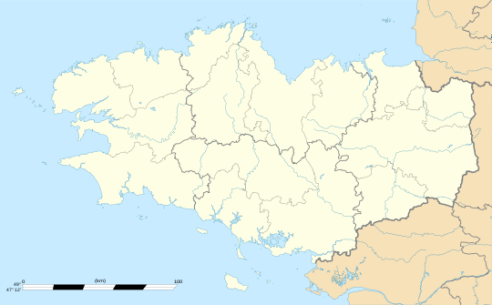 Landebaëron | |
| Coordinates: 48°38′07″N 3°12′29″W / 48.6353°N 3.2081°W | |
| Country | France |
| Region | Brittany |
| Department | Côtes-d'Armor |
| Arrondissement | Guingamp |
| Canton | Bégard |
| Intercommunality | Pays de Bégard |
| Government | |
| • Mayor (2014–2020) | Sébastien Tondereau |
| Area 1 | 6.44 km2 (2.49 sq mi) |
| Population (2008) | 202 |
| • Density | 31/km2 (81/sq mi) |
| Time zone | UTC+01:00 (CET) |
| • Summer (DST) | UTC+02:00 (CEST) |
| INSEE/Postal code | 22095 /22140 |
| Elevation | 51–113 m (167–371 ft) |
| 1 French Land Register data, which excludes lakes, ponds, glaciers > 1 km2 (0.386 sq mi or 247 acres) and river estuaries. | |
Landebaëron (Breton: Landebaeron) is a commune in the Côtes-d'Armor department of Brittany in northwestern France.
Population
| Year | Pop. | ±% |
|---|---|---|
| 1962 | 253 | — |
| 1968 | 299 | +18.2% |
| 1975 | 231 | −22.7% |
| 1982 | 211 | −8.7% |
| 1990 | 183 | −13.3% |
| 1999 | 186 | +1.6% |
| 2008 | 202 | +8.6% |
Inhabitants of Landebaëron are called landebaëronnais in French.
See also
References
External links
Wikimedia Commons has media related to Landebaëron.
| Authority control databases: National |
|---|
This Côtes-d'Armor geographical article is a stub. You can help Wikipedia by expanding it. |