Luddendenfoot: Difference between revisions
→Governance: : stating Luddendenfoot is part of wider ward of same name. Also clarifying this in terms of population, |
Added Westminster Constituency |
||
| Line 1: | Line 1: | ||
{{infobox UK place |
{{infobox UK place |
||
|country |
| country = England |
||
|static_image |
| static_image = Burnley Road A646, Luddenden Foot - geograph.org.uk - 1009230.jpg |
||
|static_image_width |
| static_image_width = 240px |
||
|static_image_caption |
| static_image_caption = Burnley Road, Luddendenfoot |
||
|coordinates |
| coordinates = {{coord|53.717797|-1.938139|display=inline,title}} |
||
|map_type |
| map_type = West Yorkshire |
||
|official_name |
| official_name = Luddendenfoot |
||
|population |
| population = 10,653 |
||
|population_ref |
| population_ref = (Ward [[United Kingdom Census 2011|2011 census]])<ref name="2011 census"/> |
||
|metropolitan_borough |
| metropolitan_borough = [[Calderdale]] |
||
|metropolitan_county |
| metropolitan_county = [[West Yorkshire]] |
||
|region |
| region = Yorkshire and the Humber |
||
|constituency_westminster = |
| constituency_westminster = [[Calder Valley]] |
||
|post_town |
| post_town = HALIFAX |
||
|postcode_district |
| postcode_district = HX2 |
||
|postcode_area |
| postcode_area = HX |
||
|dial_code |
| dial_code = |
||
|os_grid_reference |
| os_grid_reference = SE041246 |
||
}} |
}} |
||
Revision as of 19:34, 25 September 2019
| Luddendenfoot | |
|---|---|
 Burnley Road, Luddendenfoot | |
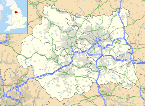 Luddendenfoot Location within West Yorkshire | |
| Population | 10,653 (Ward 2011 census)[1] |
| OS grid reference | SE041246 |
| Metropolitan borough | |
| Metropolitan county | |
| Region | |
| Country | England |
| Sovereign state | United Kingdom |
| Post town | HALIFAX |
| Postcode district | HX2 |
| Police | West Yorkshire |
| Fire | West Yorkshire |
| Ambulance | Yorkshire |
| UK Parliament | |
Luddendenfoot or Luddenden Foot is a community in Calderdale, West Yorkshire, England. The population of Luddendenfoot is 2,547[2], with the wider Calderdale Ward at the 2011 Census as 10,653.[1] It lies along the Upper Calder Valley below the village of Luddenden, between Sowerby Bridge and Mytholmroyd
History
Between 1840 and 1962 the village was served by Luddendenfoot railway station.[3]
Governance
Since 1974, Luddendenfoot has formed part of the metropolitan borough of Calderdale which is administered from Halifax. The settlement is part of the Luddendenfoot ward of the part of the metropolitan county of West Yorkshire.[4] The Luddendenfoot ward covers a wider area and includes the villages of Mytholmroyd, Luddenden, Midgley, Booth, Wainstalls, Cragg Vale and Boulderclough.[5]
The ward has, over the years, elected councillors from all of the three main parties. However, as of May 2019, all three seats are held by Labour councillors and this is the first time this has happened since 1973.
Education
There is a primary school called Luddendenfoot Academy, formerly Luddendenfoot Junior and Infant school and also a school called luddenden ce school situated in the heart of luddendefoot village.
Cultural reference and notable people
- Luddendenfoot is the subject of a poem by Simon Armitage, in which he comments on the rumoured pagan practices of the town.
- The actor Peter Alexander, who starred in Emmerdale Farm and numerous pantomimes in Yorkshire, lives here.
- Luddenden was also used as the exterior funeral parlour for the then Yorkshire Television's In Loving Memory.
- Luddendenfoot Rugby League Club appeared in the first round of the Rugby League Challenge Cup in 1899 as an amateur side, losing 63-3 away at Salford.
Gallery

References
- ^ a b UK Census (2011). "Local Area Report – Luddendenfoot Ward (as of 2011) (1237321038)". Nomis. Office for National Statistics. Retrieved 7 February 2019.
- ^ Based on the output areas E00055030, E00055031, E00055032 , E00055037, E00055038, E00055039 and E00055040 in the 2011 census.
- ^ "Disused Stations:Luddendenfoot Station". www.disused-stations.org.uk. Retrieved 30 May 2017.
- ^ "Luddendenfoot". 2010. Retrieved 20 January 2014.
- ^ www.calderdale.gov.uk https://www.calderdale.gov.uk/v2/maps/offices-political. Retrieved 2019-09-25.
{{cite web}}: Missing or empty|title=(help)