Grabels: Difference between revisions
Content deleted Content added
JJMC89 bot (talk | contribs) Migrate {{Infobox French commune}} coordinates parameters to {{Coord}}, see Wikipedia:Coordinates in infoboxes |
ibx param |
||
| Line 1: | Line 1: | ||
{{Infobox French commune |
{{Infobox French commune |
||
|name = Grabels |
|name = Grabels |
||
|commune status = [[Communes of France|Commune]] |
|||
|image = Église_de_Grabels.JPG |
|image = Église_de_Grabels.JPG |
||
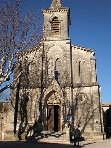
|caption = Church |
|caption = Church |
||
Revision as of 07:55, 28 May 2017
Grabels | |
|---|---|
 Church | |
 Coat of arms | |
Location of Grabels  | |
 Grabels  Grabels | |
| Coordinates: 43°38′55″N 3°48′09″E / 43.6486°N 3.8025°E | |
| Country | France |
| Region | Occitania |
| Department | Hérault |
| Arrondissement | Montpellier |
| Canton | Montpellier-10 |
| Intercommunality | Montpellier |
| Government | |
| • Mayor (2008-2014) | René Revol (PG) |
| Area 1 | 16.24 km2 (6.27 sq mi) |
| Population (2008) | 6,092 |
| • Density | 380/km2 (970/sq mi) |
| Time zone | UTC+01:00 (CET) |
| • Summer (DST) | UTC+02:00 (CEST) |
| INSEE/Postal code | 34116 /34790 |
| Elevation | 50–167 m (164–548 ft) (avg. 68 m or 223 ft) |
| 1 French Land Register data, which excludes lakes, ponds, glaciers > 1 km2 (0.386 sq mi or 247 acres) and river estuaries. | |
Grabels is a commune in the Hérault département in the Occitanie region in southern France.
Population
| Year | Pop. | ±% |
|---|---|---|
| 1962 | 835 | — |
| 1968 | 1,020 | +22.2% |
| 1975 | 1,537 | +50.7% |
| 1982 | 2,527 | +64.4% |
| 1990 | 3,130 | +23.9% |
| 1999 | 5,438 | +73.7% |
| 2008 | 6,092 | +12.0% |

See also
References
Wikimedia Commons has media related to Grabels.
This Hérault geographical article is a stub. You can help Wikipedia by expanding it. |