Oberá Airport: Difference between revisions
Content deleted Content added
m →External links: add authority control |
|||
| Line 42: | Line 42: | ||
{{Airports in Argentina}} |
{{Airports in Argentina}} |
||
{{authority control}} |
|||
{{DEFAULTSORT:Obera Airport}} |
{{DEFAULTSORT:Obera Airport}} |
||
[[Category:Airports in Argentina]] |
[[Category:Airports in Argentina]] |
||
[[Category:Buildings and structures in Misiones Province]] |
[[Category:Buildings and structures in Misiones Province]] |
||
[[Category:Oberá]] |
[[Category:Oberá]] |
||
{{Argentina-airport-stub}} |
{{Argentina-airport-stub}} |
||
Revision as of 01:56, 9 March 2020
Oberá Airport Aeropuerto de Oberá | |||||||||||
|---|---|---|---|---|---|---|---|---|---|---|---|
| Summary | |||||||||||
| Airport type | Public | ||||||||||
| Serves | Oberá | ||||||||||
| Location | Argentina | ||||||||||
| Elevation AMSL | 1,125 ft / 343 m | ||||||||||
| Coordinates | 27°31′05″S 55°7′27″W / 27.51806°S 55.12417°W | ||||||||||
| Map | |||||||||||
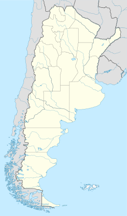 SATO Location of airport in Argentina | |||||||||||
| Runways | |||||||||||
| |||||||||||
Oberá Airport (Spanish: Aeropuerto de Oberá, ICAO: SATO) is a public use airport serving Oberá, a city in the Misiones Province of Argentina. The airport is at the south edge of the city.
The Posadas VOR-DME (Ident: POS) is located 45.7 nautical miles (85 km) west of the airport.[4]
See also
References
- ^ Airport record for Oberá Airport at Landings.com. Retrieved 2 September 2013
- ^ "Oberá Airport". Google Maps. Google. Retrieved 12 May 2019.
- ^ Airport information for Oberá Airport at Great Circle Mapper.
- ^ "Posadas VOR". Our Airports. Retrieved 12 May 2019.
External links
- OpenStreetMap - Oberá Airport
- FallingRain - Obera Airport
- Accident history for SATO at Aviation Safety Network
This article about an airport in Argentina is a stub. You can help Wikipedia by expanding it. |