卡馬庫帕:修订间差异
删除的内容 添加的内容
Walter Grassroot(留言 | 贡献) 小无编辑摘要 标签:模板被删除 2017版源代码编辑 delete |
小 机器人: 已有较多条目链入本条目 |
||
| (未显示5个用户的7个中间版本) | |||
| 第1行: | 第1行: | ||
{{Infobox settlement |
{{Infobox settlement |
||
| ⚫ | |||
<!--See the Table at Infobox Settlement for all fields and descriptions of usage--> |
|||
<!-- Basic info ----------------> |
|||
| ⚫ | |||
|other_name = Kamacupa |
|other_name = Kamacupa |
||
|native_name = |
|native_name = Camacupa |
||
|nickname = |
|nickname = |
||
|settlement_type = |
|settlement_type = 安哥拉市鎮 |
||
|motto = |
|motto = |
||
<!-- images and maps -----------> |
|||
|image_skyline = |
|image_skyline = |
||
|imagesize = |
|imagesize = |
||
| 第21行: | 第18行: | ||
|mapsize = |
|mapsize = |
||
|map_caption = |
|map_caption = |
||
|pushpin_map = Angola |
|pushpin_map = Angola |
||
|pushpin_label_position =right |
|pushpin_label_position =right |
||
|pushpin_mapsize =300 |
|pushpin_mapsize =300 |
||
|pushpin_map_caption = |
|pushpin_map_caption = 卡馬庫帕在安哥拉的位置 |
||
|subdivision_type = 國家 |
|||
<!-- Location ------------------> |
|||
| |
|subdivision_name = 安哥拉 |
||
| |
|subdivision_type1 = 省 |
||
| |
|subdivision_name1 = [[比耶省]] |
||
|subdivision_name1 = [[Bié Province]] |
|||
|subdivision_type2 = |
|subdivision_type2 = |
||
|subdivision_name2 = |
|subdivision_name2 = |
||
|subdivision_type3 = |
|subdivision_type3 = |
||
|subdivision_name3 = |
|subdivision_name3 = |
||
|<!-- Politics -----------------> |
|||
|government_footnotes = |
|government_footnotes = |
||
|government_type = |
|government_type = |
||
|leader_title = |
|leader_title = |
||
|leader_name = |
|leader_name = |
||
|leader_title1 = |
|leader_title1 = |
||
|leader_name1 = |
|leader_name1 = |
||
|established_title = |
|established_title = |
||
|established_date = |
|established_date = |
||
<!-- Area ---------------------> |
|||
|area_magnitude = |
|area_magnitude = |
||
|unit_pref =Imperial <!--Enter: Imperial, if Imperial (metric) is desired--> |
|||
|area_footnotes = |
|area_footnotes = |
||
|area_total_km2 = |
|area_total_km2 = |
||
|area_land_km2 = |
|area_land_km2 = |
||
<!-- Population -----------------------> |
|||
|population_as_of = |
|population_as_of = |
||
|population_footnotes = |
|population_footnotes = |
||
| 第63行: | 第55行: | ||
|population_density_blank1_km2 = |
|population_density_blank1_km2 = |
||
|population_density_blank1_sq_mi = |
|population_density_blank1_sq_mi = |
||
<!-- General information ---------------> |
|||
|timezone =[[West Africa Time|WAT]] |
|timezone =[[West Africa Time|WAT]] |
||
|utc_offset = +1 |
|utc_offset = +1 |
||
| 第69行: | 第60行: | ||
|utc_offset_DST = |
|utc_offset_DST = |
||
|coordinates = {{coord|12|01|32|S|17|28|7|E|region:AO|display=inline}} |
|coordinates = {{coord|12|01|32|S|17|28|7|E|region:AO|display=inline}} |
||
|elevation_footnotes = |
|elevation_footnotes = |
||
|elevation_m = |
|elevation_m = |
||
|elevation_ft = |
|elevation_ft = |
||
|postal_code_type = |
|||
<!-- Area/postal codes & others --------> |
|||
|postal_code_type = <!-- enter ZIP code, Postcode, Post code, Postal code... --> |
|||
|postal_code = |
|postal_code = |
||
|area_code = |
|area_code = |
||
| 第83行: | 第73行: | ||
|footnotes = |
|footnotes = |
||
}} |
}} |
||
| ⚫ | '''卡馬庫帕'''({{lang-en|Camacupa}})是位於[[安哥拉]]中部的市鎮,由[[比耶省]]負責管轄,北鄰[[恩哈里亞]],面積9,469平方公里,2006年人口289,227,人口密度每平方公里31人<ref>{{cite web|url=http://www.statoids.com/yao.html|title=City councils of Angola|accessdate=2009-04-07|publisher=Statoids|archive-date=2018-12-26|archive-url=https://web.archive.org/web/20181226000527/http://www.statoids.com/yao.html%20|dead-url=no}}</ref>。 |
||
==参考== |
|||
{{reflist}} |
|||
| ⚫ | |||
==參考資料== |
==參考資料== |
||
| ⚫ | |||
*{{cite web|url=http://www.statoids.com/yao.html|title=City councils of Angola|publisher=Statoids|accessdate=April 7, 2009}} |
|||
| ⚫ | |||
{{Municipalities of Angola}} |
|||
{{DEFAULTSORT:Camacupa}} |
|||
| ⚫ | |||
[[Category:比耶省聚居地]] |
|||
{{Angola-geo-stub}} |
{{Angola-geo-stub}} |
||
| ⚫ | |||
2021年9月23日 (四) 23:34的最新版本
| 卡馬庫帕 Camacupa Kamacupa | |
|---|---|
| 安哥拉市鎮 | |
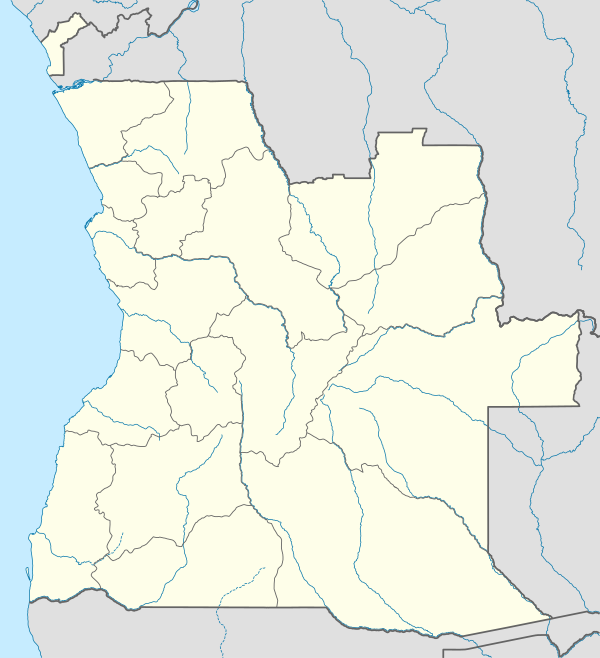 卡馬庫帕 卡馬庫帕在安哥拉的位置 | |
| 坐标:12°01′32″S 17°28′7″E / 12.02556°S 17.46861°E | |
| 國家 | 安哥拉 |
| 省 | 比耶省 |
| 时区 | WAT(UTC+1) |
| Climate | Cwa |
卡馬庫帕(英語:Camacupa)是位於安哥拉中部的市鎮,由比耶省負責管轄,北鄰恩哈里亞,面積9,469平方公里,2006年人口289,227,人口密度每平方公里31人[1]。
参考
[编辑]- ^ City councils of Angola. Statoids. [2009-04-07]. (原始内容存档于2018-12-26).
參考資料
[编辑]
| ||||||||||||||||||||||||||||||||||||||||||||||||||||||||||||||||||||||||||||||||||||||||||||
| 这是一篇與安哥拉地理相關的小作品。您可以通过编辑或修订扩充其内容。 |